Met Éireann and Irish Lights are pleased to announce a joint collaboration that will enhance our understanding of Irish Coastal Waters, with the aim of improving safety for coastal inhabitants and mariners.
Safety of the mariner and the public has been at the heart of Irish Lights and Met Éireann since their establishment over 235 and 85 years ago respectively. The seas around the island of Ireland are changing due to the impact of climate change and both organisations are adapting by developing new additional services. In line with the government’s Climate Action Plan and The Status of Ireland’s Climate Report 2020, a better understanding of our adjacent seas is needed including the wave conditions around the Irish coast.
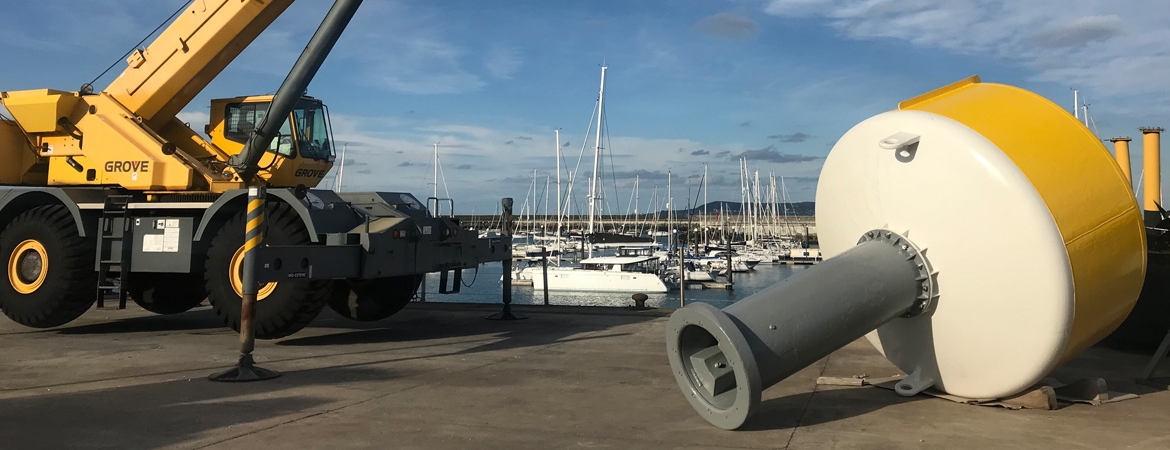
Launching on 1st February, St. Brigid’s Day, the Patron Saint of Sailors, the trial will involve adapting existing navigation buoys operated by Irish Lights with new wave sensors, providing quality controlled near real-time meteorological and hydrographic data for the benefit of stakeholders in coastal areas.
Ronan Boyle, Director of eNavigation & Maritime Services for Irish Lights, said: “Irish Lights is delighted to support this trial with Met Éireann, which is closely aligned with our Vision of protecting lives, property, trade and the environment by delivering next generation maritime services. We look forward to a successful completion of the trial period and a possible future expansion of this monitoring network for the safety of all”.
The data from Irish Lights navigation buoys will be used by Met Éireann’s Flood Forecasting Division to develop coastal predictive modelling systems for tidal, storm surge and wave forecasting for Ireland. The acquisition of near-real-time data will prove beneficial to the Flood Forecasting Division before, during and after coastal flood events. This meteorological and hydrographic information provided by Irish Lights will support stakeholders to make impact-based decisions and take actions that protect against the loss of life and to mitigate against damage to property and the environment.
Rosemarie Lawlor, Hydrometeorologist at Met Éireann said: “This important capacity building collaboration is an exciting first step in building on our understanding of Irish seas and coasts and continues the essential work of improving safety of our coastal and marine areas”
The four Irish Lights navigation buoys which are part of the trial are Ballybunnion buoy (Shannon Estuary)*, Finnis buoy (Galway Bay), South Hunter buoy (Larne) and Splaugh buoy (Rosslare)
The project is divided into three stages:
- Procurement & Testing,
- Deployment, and
- Trial.
As part of stage one Met Éireann procured and provided Irish Lights with wave sensors, data loggers and modems for their navigation buoys. A new quality control process has been developed by Met Éireann in collaboration with Irish Lights and the Marine Institute for testing the data in stage three. Irish Lights have installed, tested and commissioned the sensors on each buoy over recent months to enable the transmission of the data.
In stage two the equipment was deployed by Irish Lights and we are currently entering stage three, the trial, with data transmission from the buoys initiated. The new sensors are measuring wave height, wave period and wave direction. The data will be tested, verified and quality controlled to ensure it is fit for purpose as part of stage three.
At present this data is openly available in near real-time at the following websites:
- Met Éireann - https://www.met.ie/forecasts/marine-inland-lakes/buoys
- Irish Lights - https://cilpublic.cil.ie/metocean/
The near real-time wave data will provide current wave conditions at the deployment locations to end-users.


