Live weather information
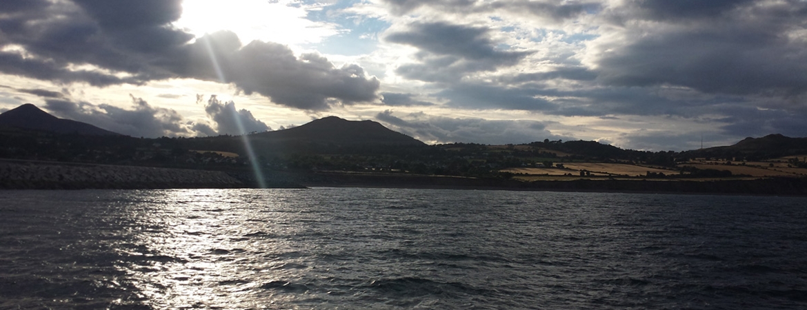
Take a look at the live weather information from the Dublin Bay in the Twitter feed on the right. This information is coming from our Dublin Bay buoy, situated at the Safe Water Mark in Dublin bay, and is transmitted via our coastal network, formatted and published to the Twitter account - @dublinbaybuoy.
More information on this and other buoys that are transmitting live information can be found on our MetOcean page.
Multiple sources for weather information
Weather conditions play an important part in safe navigation. Finding and understanding marine weather forecasts is essential for the safety of vessels and their crews, especially leisure and fishing vessels.
- GMDSS weather forecasts are available on the Internet. The data can also be obtained by email.
- The Internet provides alternative and supplementary ways of getting most marine weather forecasts. It also provided certain information not covered under the GMDSS weather broadcasts. (See below for more details.)
- Met Éireann Sea Area Forecast Information - from the national marine weather forecasting authority for Ireland, Met Éireann - the Irish Meterological Service.
- RTÉ website marine weather forecast
- RTE radio and television weather forecast transmission times:
RTÉ Radio One
- 06.02 Sea area forecast
- 07.55 Morning forecast & outlook for the coming days
- 12.53 Land & sea area forecast
- 17.55 Evening forecast & outlook for the coming days
- 23.55 Late night land and sea area forecast
RTÉ Television
- 11.05 Today and tomorrow
- 11.50 Today and tomorrow
- 13.15 This afternoon, tonight & next two days
- 15.45 Tonight and next three days
- 17.50 European forecast with Irish update
- 18.50 Tomorrow and next two days (summer time 18.25hrs)
- 21.25 Three days forecast
- 23.00 European forecast with Irish weather (RTÉ Two)
- 24.00 Three day forecast (times vary for late night forecast)
BBC Radio 4 Shipping Forecast
After the late night shipping forecast on Radio 4 LW, 198 kHz, there are about 25 reports from locations around British Isles coasts starting from Tiree. After the early morning forecast there are about 12 station reports. The list changes slightly from time to time as observing locations change.
NAVTEX 490 kHz
Around the UK, the national NAVTEX service on 490 kHz provides actual reports. For schedules see the NAVTEX page. The UK Department of Transport has an explanatory leaflet about the broadcast times for Maritime Safety Information and the Radio Medical Advice Link Calls.
The Internet
This is not normally available when at sea unless one is within a few miles (5 to 10) of the coast or you add an additional aerial to your mobile phone to increase the range. When access to the Internet is possible, using WiFi or a mobile phone GPRS connection to a laptop PC or a PDA, the following resources can be used.
Useful Internet sites
|
Latest hourly marine observations from around the UK and including open ocean buoys to the west of the British Isles and Biscay. Updated hourly. |
|
|
The Irish Met Service Observations Pages are useful to mariners because they give data from the ring of buoys around Ireland. This is a quick page to download and gives the latest hourly data. |
|
|
The latest hourly data from Republic of Ireland land stations. |
|
|
Reports from stations as broadcast by Jersey Met, Channel Isles and nearby French coasts. |
|
|
Select the English-language version of the website. Click Current Weather At Sea in the menu on the left. |
|
|
Buoy, Light Vessel and Rig data around the British Isles. It is necessary to look at one location at a time, but there are hourly reports for a day or more back. The page also has a link to ship reports in the area. |
|
|
Reports from UK land stations, updated hourly. |
|
|
Satellite derived winds from the European satellite. This uses the scattering of a radar beams fired at the sea surface. |
|
|
Very comprehensive source of actual wind data for weather observing sites over the UK, France, Germany, Iberia and Italy. This gives latest wind data from airfields, data buoys, light vessels etc. Hover the pointer over a wind arrow and read off the location and the latest wind. Note that some data is refreshed every 20 minutes, some every hour and others less often. |
|
|
To access all marine observations in a geographical area anywhere in the world. Curiously to European eyes, the US data centre converts the pressures into inches of mercury and temperatures into degrees Fahrenheit as "English" units by default. Choose metric units for the more usual hectoPascals/millibars and degrees Celsius. Equally curiously, you get more data if you select "English" units. NOTE - Ships usually only report the weather at the main hours of 00, 06, 12, 18 UTC. When using this site, therefore, choose a time shown as "t-2" or "t-3" etc to define one of these main hours. Perhaps better is to choose "the past 6 hours". |
|
|
|
Observations updated every 20 minutes from locations all over the UK. |


