
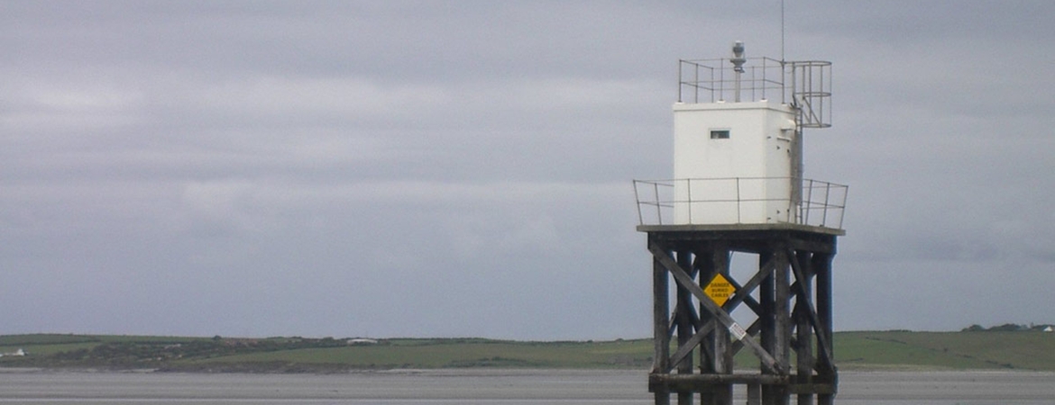
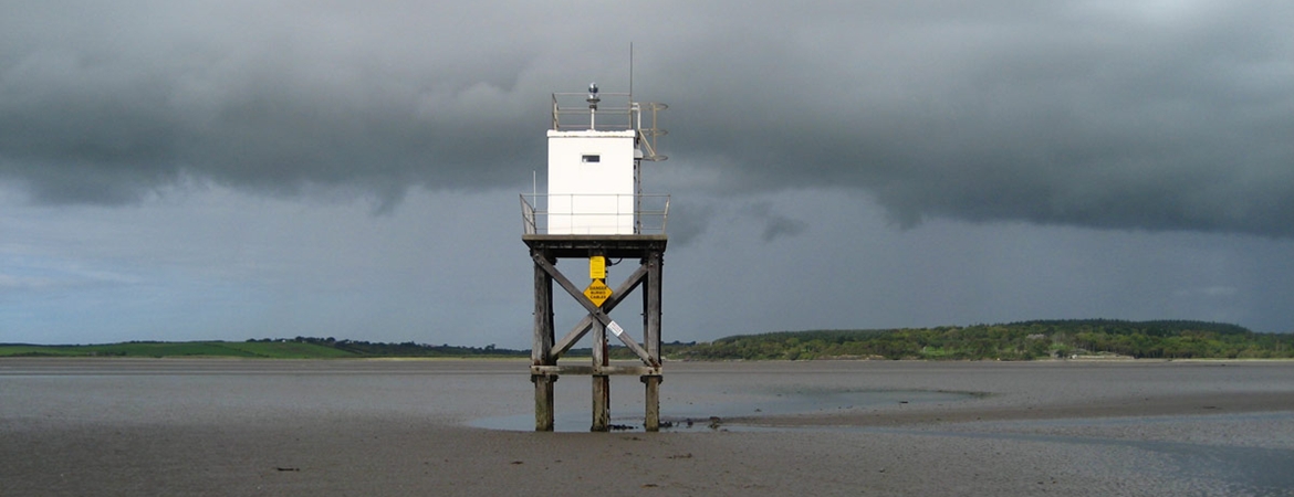


Lower Rosses was established as a lighted beacon on 16th October 1908 being constructed on timber piles in the sand off Lower Rosses. In 1965 its character was changed to Gp Fl (2) WRG ev. 5 secs. Like the Metal Man and Oyster Island it was converted from acetylene to propane on 9th October 1979 and its character changed to Gp Fl (2) WRG 10 s with a range of 10 nautical miles (white) and 8 nautical miles (red and green). In 1999 the entire superstructure was replaced and subsequently a new lantern with a 100 Watt tungsten halogen lamp with a character of Fl(2) WRG 10s was installed, increasing the range to 13 nautical miles (white sector) and 10 nautical miles (green and red sectors). The light is powered by a sealed lead-acid battery charged from a newly laid mains electricity cable.
The light was solarised on 10 March and the sectors changed. The new range was 10 nautical miles for all sectors of the light.
