
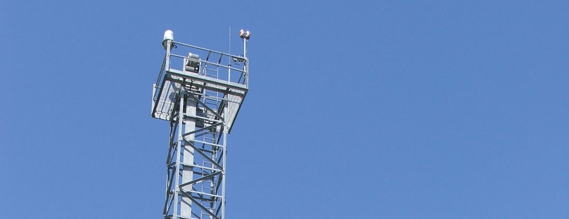
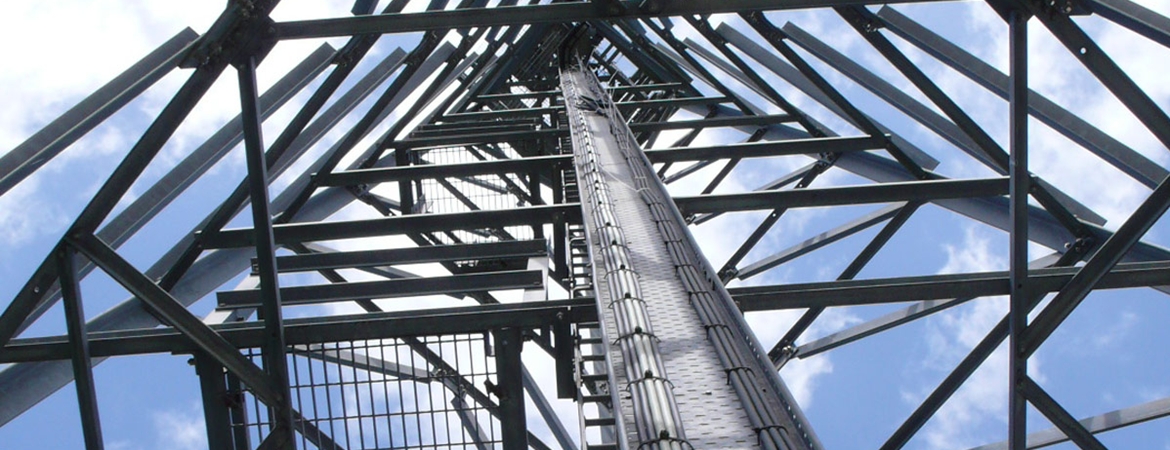


Corlis Point Rear Leading Light was established on the 20th September 1998 with the Front Leading Light. Its structure is a lattice mast with six RL355 250W 120V range lanterns by day, and ML300 250W 120V by night.

Corlis Point Rear LL
|
Position: |
52°37.693' North 09°35.336' West |
Aids to Navigation |
|
|
Sectors: |
|
|
Height of Tower: |
25 metres |
|
Height of Light MHWS: |
27 metres |
|
Character: |
Oc W 5s 24hr |
|
Range: |
High intensity by day. Nominal Range: By day 7 nautical miles, By night 10 nautical miles |
|
Radar Beacon: |
|
|
AIS: |
|
Tags :
lighthouse
,
Corlis
